Oil Field Maps
Algeria Oil Fields Map
Algeria — Oil & Gas Overview
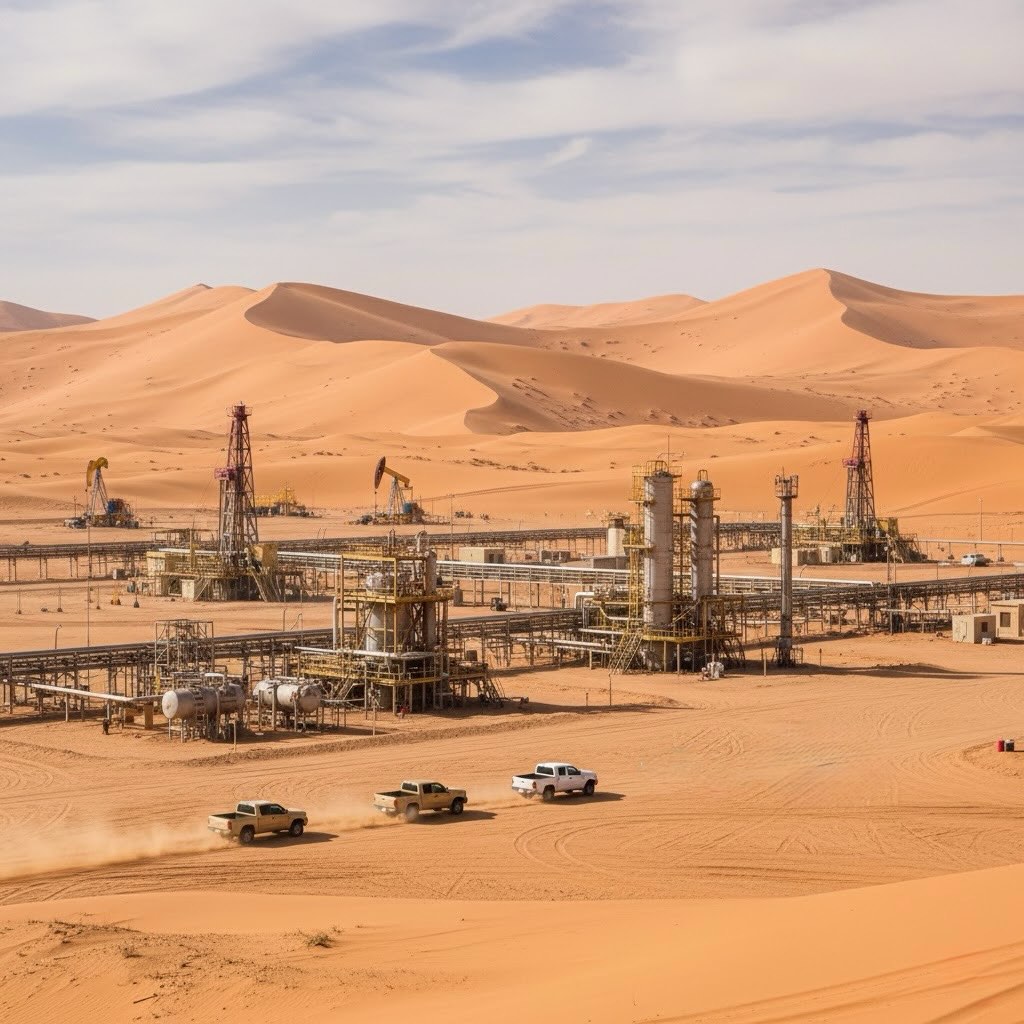
Algeria is a long-standing OPEC member with mature oil basins (notably Hassi Messaoud) and one of the world’s largest gas systems centered on Hassi R’Mel. Most proven reserves and production are onshore; offshore remains limited. Crude output has hovered around ~0.9–1.0 million b/d in recent years under OPEC+ management, while marketed natural-gas production and exports keep Algeria among Europe’s key suppliers.
Production snapshot (latest public sources)
- Crude oil: ~0.91 million b/d (Nov 2024, secondary sources, OPEC MOMR).
- Role in Africa: Largest natural-gas producer and #2 in total liquids in Africa (EIA 2025 brief).
- Proved reserves (indicative): ~12.2 billion bbl crude; ~159 Tcf (4.5 Tcm) natural gas reported in major references.
Major fields & plays
- Oil: Hassi Messaoud (flagship, Sahara Blend), Ourhoud, Rhourde El Baguel; broader Berkine Basin clusters.
- Gas: Hassi R’Mel (giant), and newer Sahara tight-gas hubs (e.g., Timimoun/Reggane/Ahnet developments).
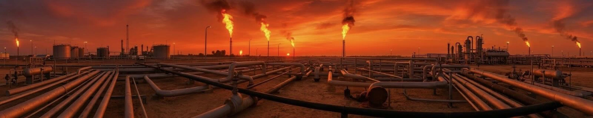
Exports & routes
- Pipelines to Europe:
- TransMed (via Tunisia to Italy): capacity reported up to ~33 Bcm/yr.
- Medgaz (direct to Spain): expanded ~10–10.7 Bcm/yr; record flows to Spain in 2024.
- LNG export terminals: Arzew (GL1Z, GL2Z, GL3Z) and Skikda (GL1K) complexes with multiple trains; individual trains range roughly ~1.3–4.7 mtpa each.
Operators & partnerships
State company Sonatrach leads upstream and export infrastructure, partnering with international firms on PSCs and redevelopments (e.g., Berkine and Illizi area deals announced 2025).
Notes & sources
Field names and “giant field” classification align with Dr. M. K. (Mike) Horn, AAPG Datapages compilation used across CCCarto. Recent production and infrastructure details cross-checked against OPEC (MOMR/ASB), the U.S. EIA country brief, Sonatrach/LNG references, and reputable industry reports. Most Algerian reserves/production are onshore; offshore remains limited.
Field Acronyms
EUR_MMBOE = Estimated ultimate recovery in million barrels of oil equivalent
Giant oil and gas fields = those with 500 million barrels (79,000,000 m3) of ultimately recoverable oil or gas equivalent.
Super giant oil field = holds equivalent of 5.5bn barrels of oil reserves.
Oil Field Key
- EUR_MMBOE: Estimated Ultimate Recovery in million barrels of oil equivalent (MMBOE).
- RSVS_MMBOE: Reserves in million barrels of oil equivalent (MMBOE).
- EURO_MMBO: Estimated Ultimate Recovery of oil in million barrels of oil (MMBO).
- EURG_TCFG: Estimated Ultimate Recovery of gas in trillion cubic feet of gas (TCFG).
- EURC_MMBO: Estimated Ultimate Recovery of condensate in million barrels of oil (MMBO).
- HL10_MMBOE: Hydrocarbon recovery estimate at a 10% decline rate in million barrels of oil equivalent (MMBOE).
- HL20_MMBOE: Hydrocarbon recovery estimate at a 20% decline rate in million barrels of oil equivalent (MMBOE).
- HL50_MMBOE: Hydrocarbon recovery estimate at a 50% decline rate in million barrels of oil equivalent (MMBOE).
- PRV_USGS_C: Proven reserves or production estimate from the U.S. Geological Survey (USGS).
- PRV_USGS_N: Name of the basin or area of interest identified by the USGS (e.g., San Juan Basin).
- BSN_TELL_C: Basin classification code (e.g., BS000000715).
- BSN_TELL_N: Basin name (e.g., San Juan Basin).
- BSN_BALLY: Basin type classification (e.g., Type 2).
- RSVR_NAME: Reservoir name (e.g., Barnett).
- RSVR_LITH1: Reservoir lithology or rock type (e.g., Shale).
- RSVR_LITH2: Secondary reservoir lithology (e.g., fractured shale).
- ERA: Geological era (e.g., Mesozoic).
- SYSTEM: Geological system (e.g., Cretaceous).
- SERIES: Geological series (e.g., Upper Cretaceous).
- STAGE: Geological stage (e.g., Primary Oil migration).
- AGE_CODE: Geological age code (e.g., MZ_CT_U: Mesozoic, Cretaceous, Upper).
- RSVR_DEPFT: Reservoir depth in feet (e.g., 6065 feet).
- RSVR_DEPKM: Reservoir depth in kilometers (e.g., 1.85 km).
- TRAP_CLASS: Trap classification (e.g., Stratigraphic).
- TRAP_TYPE: Trap type (e.g., Pinch-out).
- TRAP_DESC: Trap description (e.g., Porosity wedge, stratigraphic).
Data Source: Dr. M. K. (Mike) Horn/AAPG Datapages compilation
Return to Map Index
Copyright CCCarto 2026