🗺 Click to explore interactive map
Salt Lake City, Utah, Faults Map
View earthquakes for the last 30 days
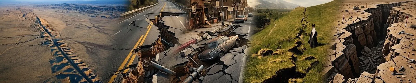
Salt Lake City, Utah, is situated in a seismically active region with several significant fault zones surrounding it. These faults are classified into different types based on their movement, and understanding their nature is crucial for assessing earthquake hazards in the area.
Faults and Their Types
- Wasatch Fault Zone: This is the most prominent fault zone near Salt Lake City, running for over 240 miles through northern Utah. It is primarily a normal fault, where the hanging wall drops relative to the footwall. The Wasatch Fault is responsible for significant seismic activity in the region and is divided into several segments, including the Salt Lake City segment, which runs directly along the eastern edge of the city.
- Great Salt Lake Fault Zone: This fault zone is located to the west of Salt Lake City and is also a normal fault. It extends into the Great Salt Lake and plays a role in the tectonic activity affecting the western part of the city.
- West Valley Fault Zone: Running to the west of Salt Lake City, this fault zone is a normal fault. It has been responsible for seismic activity in the region and is crucial in understanding the western seismic risks.
- Utah Lake Faults: These are a series of normal faults located south of Salt Lake City, near Utah Lake. They contribute to the overall seismic hazard in the region.
- Morgan Fault: Located to the north of Salt Lake City, the Morgan Fault is a normal fault. It contributes to the seismic activity in the northern part of the region.
- East Cache Fault Zone: This fault zone is found to the north and east of Salt Lake City and is a normal fault. It influences the seismic activity in the Cache Valley area.
- West Cache Fault Zone: Situated to the west of the East Cache Fault Zone, this fault zone is also a normal fault and affects the seismic hazard in the Cache Valley region.
- Ogden Valley North Fork Fault: This fault, located to the north of Salt Lake City, is a normal fault and is part of the broader Ogden Valley seismic zone.
- Southern Oquirrh Mountains Fault Zone: This fault zone is located to the southwest of Salt Lake City and is a normal fault. It affects the seismic hazard in the southern part of the region.
- Gunnison Fault: Located further to the south, the Gunnison Fault is also a normal fault. It plays a role in the seismic activity in the region surrounding the southern part of Utah.
Fault Activity and Earthquake Hazards
Among these faults, the Wasatch Fault Zone is the most active and poses the greatest risk for significant seismic events. It has a history of producing large earthquakes and is closely monitored due to its proximity to Salt Lake City.
In the event of a major earthquake, Salt Lake City would face several hazards:
- Liquefaction: This occurs when saturated soil temporarily loses its strength and behaves like a liquid due to the shaking. Areas with loose, water-saturated soils, particularly near the Great Salt Lake and river valleys, are at higher risk.
- Landslides: The steep terrain surrounding Salt Lake City, including the foothills and mountainous regions, is susceptible to landslides during significant seismic activity.
- Building and Freeway Collapse: Older buildings and infrastructure, especially those not retrofitted to current seismic standards, are at risk of collapse. Freeways and bridges could also sustain significant damage, disrupting transportation and emergency response efforts.
- Fires: Earthquake-induced gas line ruptures and electrical failures could lead to fires. The dense urban area and proximity to critical infrastructure heighten this risk.
- Tsunamis: While the risk of tsunamis is low due to Salt Lake City's inland location, large-scale flooding in the Great Salt Lake could exacerbate the impacts of an earthquake.
Areas of Worst Shaking
The areas around Salt Lake City that would experience the worst shaking in a large quake include:
- The eastern parts of the city: Proximal to the Wasatch Fault Zone, which would experience the most intense shaking.
- Low-lying areas and valleys: Areas with loose, unconsolidated sediments, like those near the Great Salt Lake and the Jordan River, are more susceptible to severe shaking and liquefaction.
Major Earthquakes
In the past 100 years, significant earthquakes in the Salt Lake City region include:
- The 1934 Cache Valley Earthquake: This magnitude 6.6 event was one of the most significant in the region, causing extensive damage in northern Utah.
- The 1962 earthquake near the Wasatch Fault: This magnitude 5.2 earthquake caused minor damage but highlighted the seismic risk in the area.
- Historical events: There have been several smaller but noteworthy seismic events throughout the history of the region, contributing to the understanding of the local seismic hazard.
Overall, Salt Lake City faces substantial seismic risks due to its location near multiple active fault zones. Efforts to mitigate these risks include improved building codes, emergency preparedness, and ongoing seismic monitoring.
Salt Lake City Fault Map

Canyon Rim Utah Fault Map

Wastch Front Fault Map

Provo Fault Map

Central Utah Fault Map

Northern Utah Fault Map

Southern Utah Fault Map

Fault Attributes Key
NAME is an 80-character field for the name of the fault (including section name,
i.e., Denali fault, Holitna section). Fault and section are lower case.
CODE is a three-integer field.that defines certainty or reliability of field mapping
(integer one), time of most recent movement (integer two), and amount or rate of slip (integer three).
CODE is composite of the single integer fields ACODE, SLIPCODE, and FCODE
and determines the line type (fault trace) to be plotted.
NUM is a six-character unique USGS identifier that defines a fault or section id. Simple fault
ids are only numeric; section ids are alpha numeric.
AGE is the upper bounding time of the most recent surface-deforming earthquake. The allowable
choices are provided in a pull-down menu.
ACODE is the second integer in CODE and defines the upper bounding time of the most recent
surface-deforming earthquake.
Permissible values are between 1 and 6: 1=historic «150 years; red =cmyk 1096680);
2= post glacial (15,000 years; orange = cmyk 1 38 1000);
3 = late Quaternary «130,000 years; green> cmyk 1002500);
4 =middle and late Quaternary «750,000 years: blue > cmyk 1004440);
5 =Quaternary «1,600,000 years; black 5);
6 = Class B (black halftone)
In the text documentation, Quaternary faults (integer two, 1-5) are Class A structures. Questionable or
suspected structures are Class B (integer two, 6).
SLIPRATE is the assigned slip rate category.
SLIPCODE is the third integer in CODE and defines the assigned slip rate category. Permissible
values are between 1 and 4 and determines line width:
1=>5 mm/year (extra wide; .048):
2 =1-5 mm/year (wide; .0325):
3 =0.2-1 mm/year (medium; .025);
4 =<.2 mm/year (thin; .015)
SLIPSENSE is normal, reverse, strike slip, thrust
DIPDIRECTION is one of the eight quadrant dip directions for the entire fault or section, not the
individual arc. C = center E =east N_ =north NE =northeast NW =northwest S =south SE =southeast SW =
southwest W_ =west
SLIPDIRECT (we are not using that field anymore and can be left empty) FCODE is the first integer
in CODE and defines how well the fault is located and expressed in the landscape. Permissible values are
between 1 and 3:
1 = fault landforms are more continuous than discontinuous and mapping is accurate at
given MAPPEDSCALE (solid);
2 = fault landforms are more discontinuous than continuous and mapping is accurate at
given MAPPEDSCALE (dashed);
3 = location of fault is inferred (dotted)
FTYPE is one of three allowable choices provided in a pull-down menu: Well constrained (FCODE 1),
Moderately constrained (FCODE 2), and Inferred (FCODE 3)
MAPPEDSCALE is one of four allowable choices provided in a pull-down menu.
Mapped scale will control visualization of the fault at various scales.
1:24,000, fault should be more continuous than discontinuous and mapping is accurate at <10,000 scale.
1:50,000, fault should be more continuous than discontinuous and mapping is accurate at <25,000 scale.
1:100,000, fault could be more discontinuous than continuous and mapping is accurate at <50,000 scale.
1:250,000, fault location may be inferred or is poorly constrained.
Data source: USGS
CCCarto is not responsible for data errors or omissions, use as reference only.
copyright cccarto.com 2026