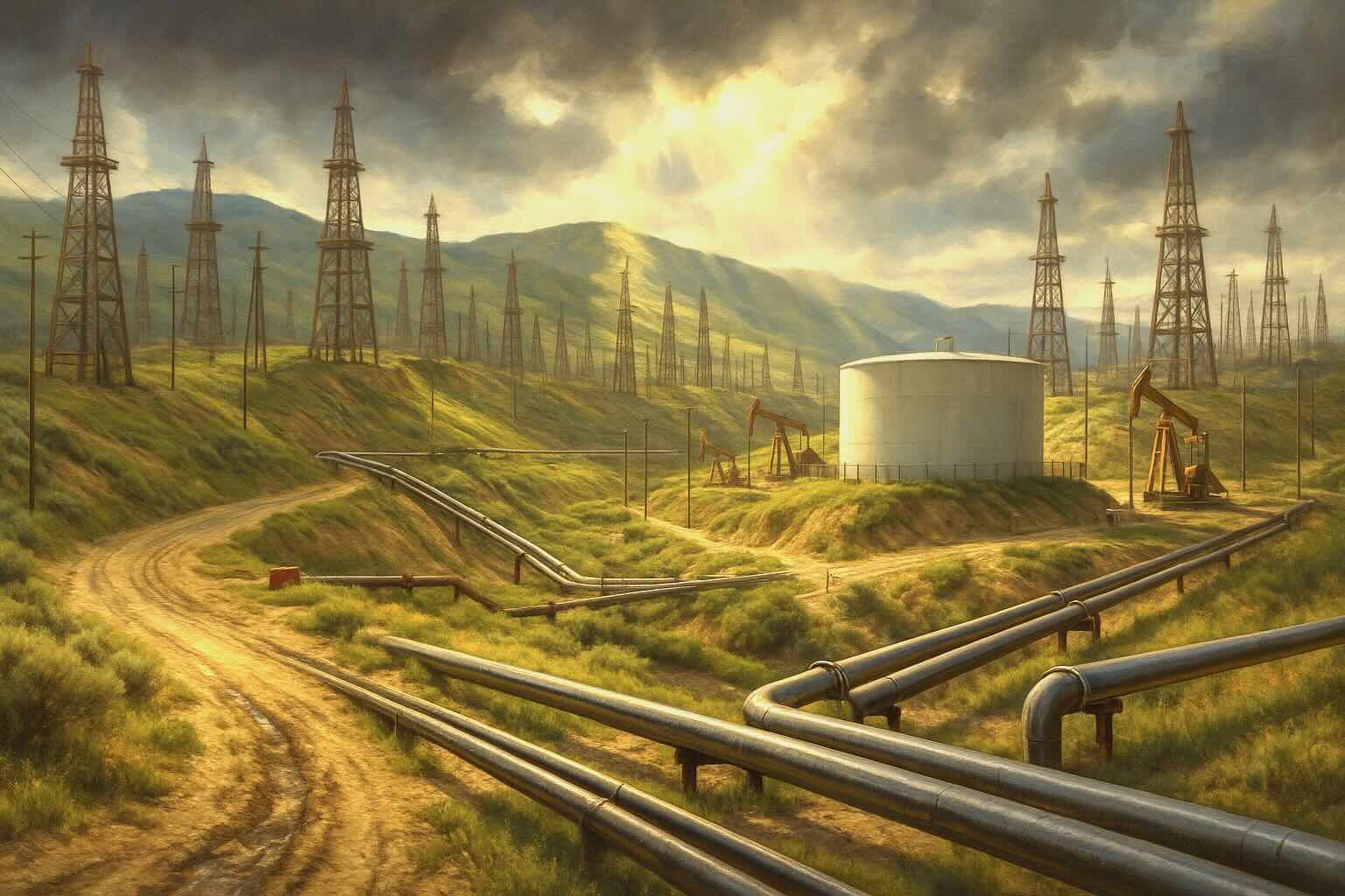
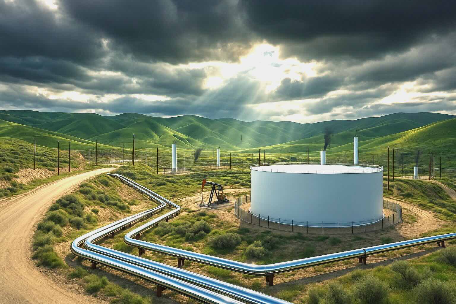
The discovery of oil in Kern County, California, and its subsequent development has been a cornerstone of California's energy industry. While early pioneers noticed natural oil seeps in the mid-19th century and even dug shallow shafts in the 1860s, it wasn't until the very end of the 1800s that the true potential of the region was unlocked. In 1899, the Elwood brothers struck oil with a hand-dug well along the banks of the Kern River, triggering a massive rush.
Bakersfield, located within the county, quickly transformed from a quiet agricultural town into the epicenter of West Coast oil production in the late 19th and early 20th centuries. The region's dry, arid landscape was an unlikely location for such a vast oil reserve, but it soon became one of the largest and most densely drilled oil-producing areas in the United States.
Key figures such as Edward L. Doheny and William Orcutt were instrumental in shaping Kern County's oil industry. Doheny, already famous for his foundational role in sparking the Los Angeles oil boom, expanded his operations to Kern County. He invested heavily in land and extraction infrastructure, cementing his status as one of the wealthiest and most influential men of his time. William Orcutt, a pioneering geologist for Union Oil, was crucial in scientifically mapping the region's geological structures, moving the industry away from "wildcatting" guesswork to data-driven drilling.
Additionally, giant conglomerates such as Standard Oil (now Chevron) played a vital role in the commercialization of the region. These corporate heavyweights brought the capital needed to lay extensive pipeline networks, construct local refineries, drill deeper wells, and develop more efficient extraction technologies that revolutionized oil production and transport in the area.
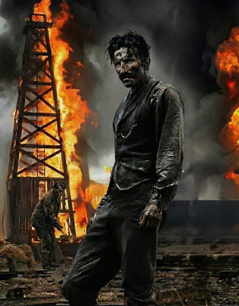
Young Edward L Doheny
Kern County's oil production grew rapidly throughout the 20th century, with several massive oil fields reaching historic peak production levels. The Midway-Sunset Oil Field, discovered in 1894, became the largest oil field in California and one of the most productive in the United States. Its notoriety was cemented in 1910 by the legendary Lakeview Gusher, an uncontrolled well that spewed an estimated nine million barrels of oil over 18 months before collapsing.
Since its discovery, Midway-Sunset has produced over 3 billion barrels of oil. Other significant fields include Lost Hills, known for its deep wells and high-quality light oil, and the Edison Field, which became famous for its early and innovative use of gas reinjection techniques—a process that maintained reservoir pressure and maximized overall output.
The impact of Kern County's oil industry on the national economy was staggering. Between major fields like Buena Vista, Wheeler Ridge, and Tejon, millions of barrels of heavy, viscous oil were extracted annually. By the late 20th century, Kern County oil fields had produced an estimated 10 billion barrels of oil, with the region continuing to pump out significant volumes well into the 21st century.
While natural underground pressure eventually depleted, technological advancements and secondary recovery methods fundamentally extended the life of these aging fields. In the 1960s, engineers introduced thermal enhanced oil recovery (TEOR), specifically steam injection. By pumping high-pressure steam into the ground, the thick, molasses-like crude was heated, allowing it to flow more freely to the surface.
Current estimates suggest there are still billions of barrels of oil-in-place left in the region, with companies continuing to invest in horizontal drilling, advanced seismic imaging, and new recovery technologies to safely extract the remaining reserves.
Among the famous oil fields, the Semitropic and Greeley oil fields have also played an important role. Though they never reached the staggering production heights of Midway-Sunset or Lost Hills, they provided a steady and reliable flow of crude that sustained local refineries. The Tejon and Wheeler Ridge fields, located near the tectonically active Tehachapi Mountains, were smaller but structurally complex, contributing significantly to the local economy and the overall output of the county.
The Buena Vista field, meanwhile, became deeply intertwined with national security and corporate history. It was famously associated with the Standard Oil Company and was partially designated as Naval Petroleum Reserve No. 2 by the federal government to ensure a guaranteed fuel supply for the U.S. Navy, further establishing Bakersfield as a major, strategically vital oil hub.
The reader will find that the story of oil in Central California and the Central Coast—specifically the Bakersfield (San Joaquin Valley) and Santa Maria regions—is a saga of immense geological wealth, extreme extraction engineering, and the ongoing collision between legacy infrastructure and modern expansion.
Unlike the heavily urbanized Los Angeles Basin, these regions have maintained their identities as the undisputed heavyweights of California's petroleum industry. However, the assumption that the oil is completely gone is a misconception. The oil remains, but the era of easy extraction is over, replaced by complex engineering requirements and shifting political will.
Here is the breakdown of the drawdown, the history, and the massive economic impact of the Central Valley and Central Coast oil booms.
The San Joaquin Valley and the Santa Maria Basin sit atop unique, highly complex geological formations known for producing heavy, viscous crude oil.
The history of these regions is inextricably linked to the petroleum industry.
Calculating the exact historical cash value of these regions is difficult due to inflation and fluctuating crude prices, but the economic impact has been foundational for the state.
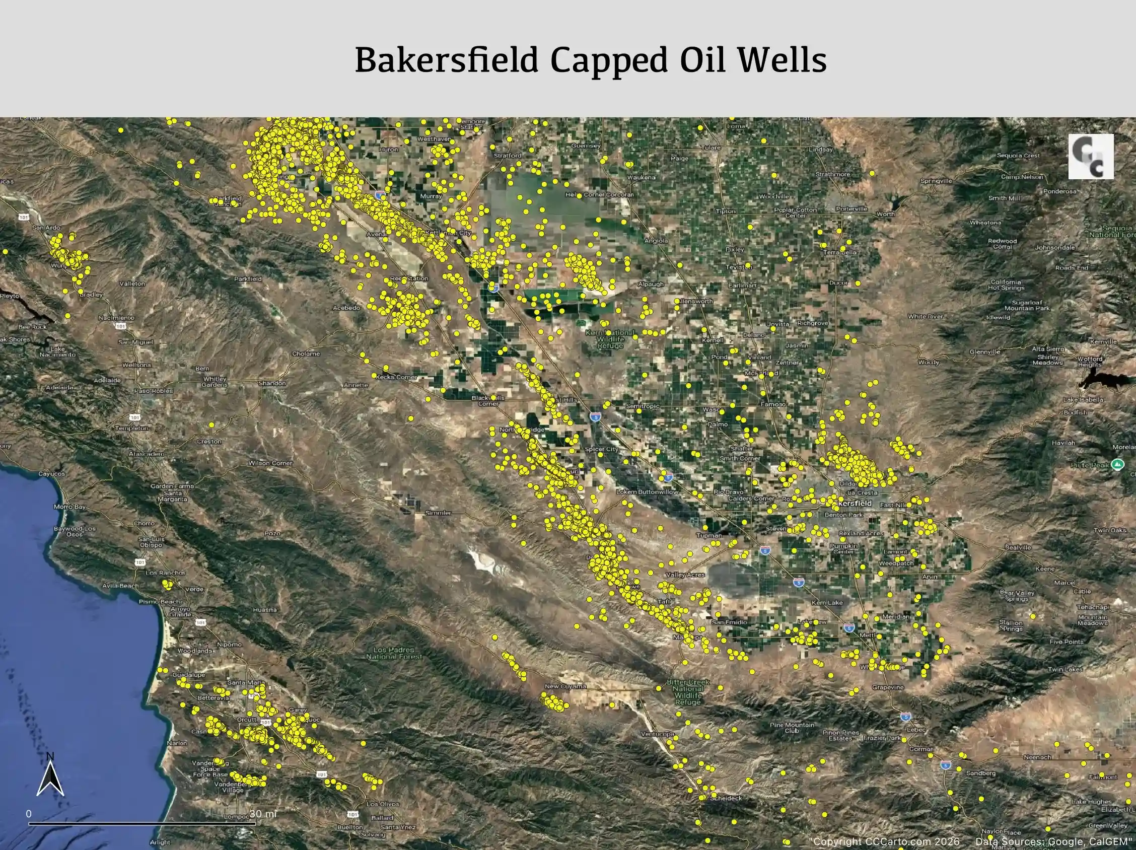
One of the most controversial aspects of Central California's oil history is the legacy of capped wells. As urban boundaries have expanded, the collision between legacy oil infrastructure and residential development has become a significant issue.
Oil operators of the early 20th century in Bakersfield and Santa Maria had no idea their industrial oil fields would eventually be swallowed by urban sprawl and agricultural expansion.
When a well dried up decades ago, the operator simply followed the minimal laws of the time. The primary concern was simply getting the heavy equipment out of the way. They tossed in debris, poured a rudimentary cement plug, and walked away. Many of these companies were small, "wildcat" operations that went bankrupt or dissolved decades ago.
Did builders keep it a secret to maintain property values? Yes, but it wasn't a shadowy conspiracy—it was standard real estate practice at the time.
Until the late 1980s, real estate sales in California largely operated under the doctrine of caveat emptor (buyer beware). If a buyer didn't explicitly ask what was buried under the soil, the builder or seller had no legal obligation to volunteer that information. It wasn't until 1987 that California introduced the standard Real Estate Transfer Disclosure Statement (TDS).
As Bakersfield expanded, agricultural land and desert scrub were converted into subdivisions. Urban sprawl pushed directly into historic oil patches like the Kern River field and Oildale. In Santa Maria, residential zoning frequently overlaps with century-old oil infrastructure. Volunteering the fact that an old oil well was sitting under a property would have killed the sale, so it was simply omitted.
Because state laws generally protect current homeowners and pre-1988 builders from liability for historical wells, thousands of these old wells sit uninspected. However, if one of these pre-1988 wells starts leaking methane or oil today, it still must be fixed:
The reader must understand the brutal, unvarnished reality of California real estate law: The state will pay to plug the hole, but the homeowner is entirely on their own to pay for the house.
If a pre-1988 orphan well directly beneath a structure starts leaking, it is a catastrophic financial event for the property owner.
It is impossible to plug an oil well from inside a building. Re-abandoning a well to modern standards requires bringing in a massive workover rig to drill out old concrete and pump specialized cement thousands of feet into the earth.
If the wellhead is dead center under a foundation, CalGEM requires "surface access." This means the structure must be physically demolished just to let the state's heavy equipment reach the wellhead.
Standard homeowners insurance policies contain strict exclusion clauses for:
Unless a homeowner proactively purchased highly specialized environmental liability riders, the insurance company will deny the claim.
Because homes in expanding suburban tracts are often built close together, neighboring properties are also put in a precarious situation. CalGEM and local fire authorities would likely force a mandatory evacuation of neighboring homes due to the risk of explosive methane, toxic hydrogen sulfide (H₂S) gas, and the sheer danger of operating a massive industrial drilling rig mere feet from their rooflines.
Unless the rig literally cannot be positioned without knocking down the neighbor's wall, their house stays standing. However, their property value will plummet while a state-funded oil rig operates next door for months.
It remains a massive legal and financial blind spot from the state's rapid expansion era, leaving property owners to bear the structural costs when legacy infrastructure fails.
Data source USGS.
Los Angeles Oil Fields
Main Index