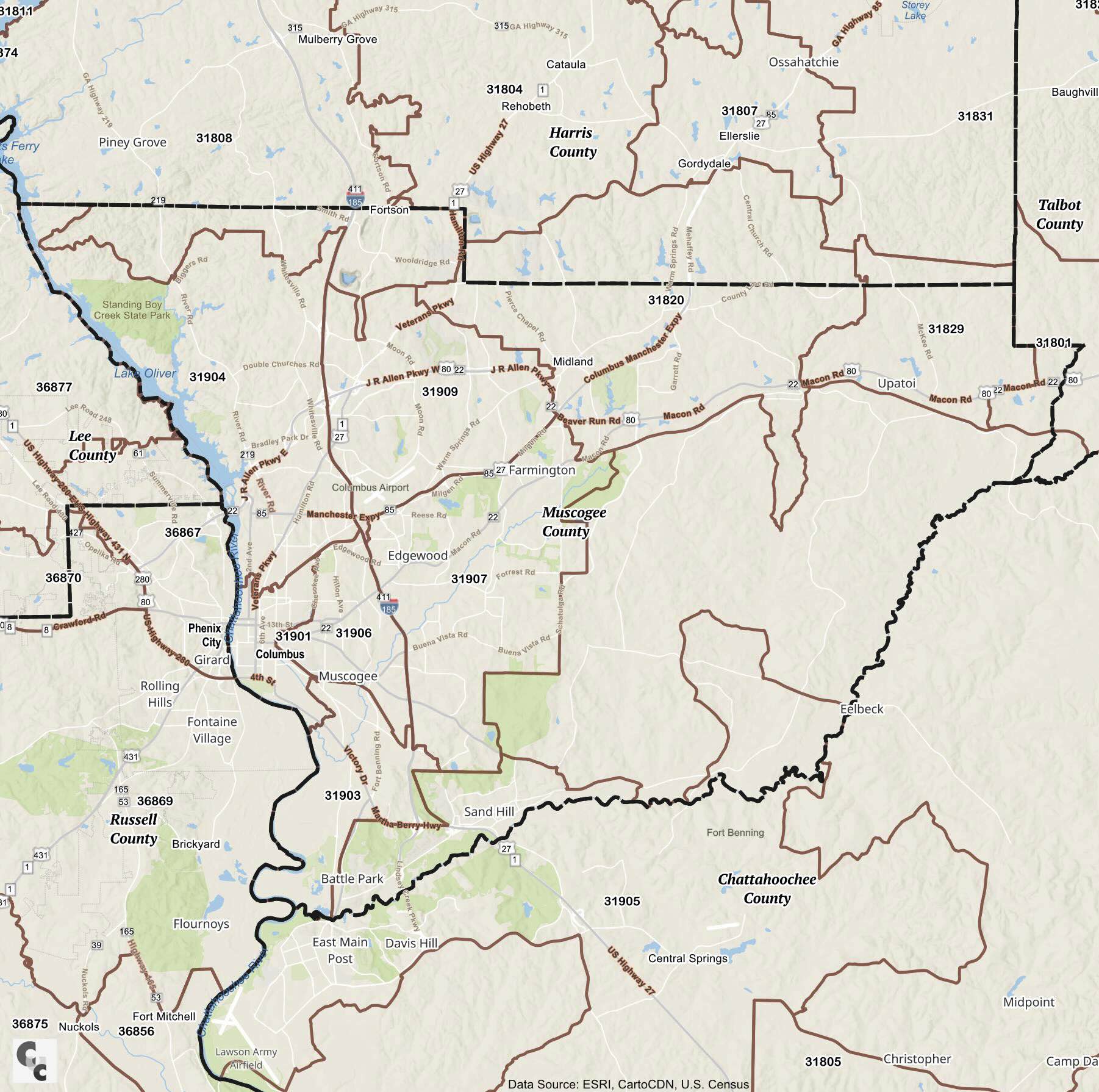
ZIP Code Tabulation Areas (ZCTAs) are approximate representations of U.S. Postal Service ZIP codes, created by the Census Bureau for statistical purposes. They provide standardized geographic boundaries, making it easier to analyze census data. Muscogee County, Georgia, is covered by around 20 ZCTAs that encompass areas within the county’s primary city, Columbus.
In Muscogee County, the highest ZIP code is 31999, and the lowest is 31820. Columbus, the major city in the county, is known for landmarks such as the National Infantry Museum (ZIP 31905) and the Columbus Riverwalk (ZIP 31901), which attract numerous visitors. Muscogee County is served by multiple post offices and PO boxes to support the population across its zip codes.
Based on Census data, the most populated ZIP code is 31907, covering parts of central Columbus, while the least populated is 31820. The demographics of Muscogee County reflect a rich diversity, with a balanced distribution of racial and ethnic groups, gender, and a range of income levels. Columbus ZIP codes also show a variety of residential areas, with varying income levels across neighborhoods.
Muscogee County zip codes covers both zip codes and census data for Columbus and all other cities and towns.
Source: Census
Map Copyright CCCARTO 2026/p>
County/City Zip Codes