ZIP Code Tabulation Areas (ZCTAs) are a Census Bureau representation of USPS ZIP codes. They approximate ZIP code boundaries for analyzing demographic and geographic data. ZCTAs are valuable for census data because they correspond to actual residential areas, rather than strictly postal delivery routes.
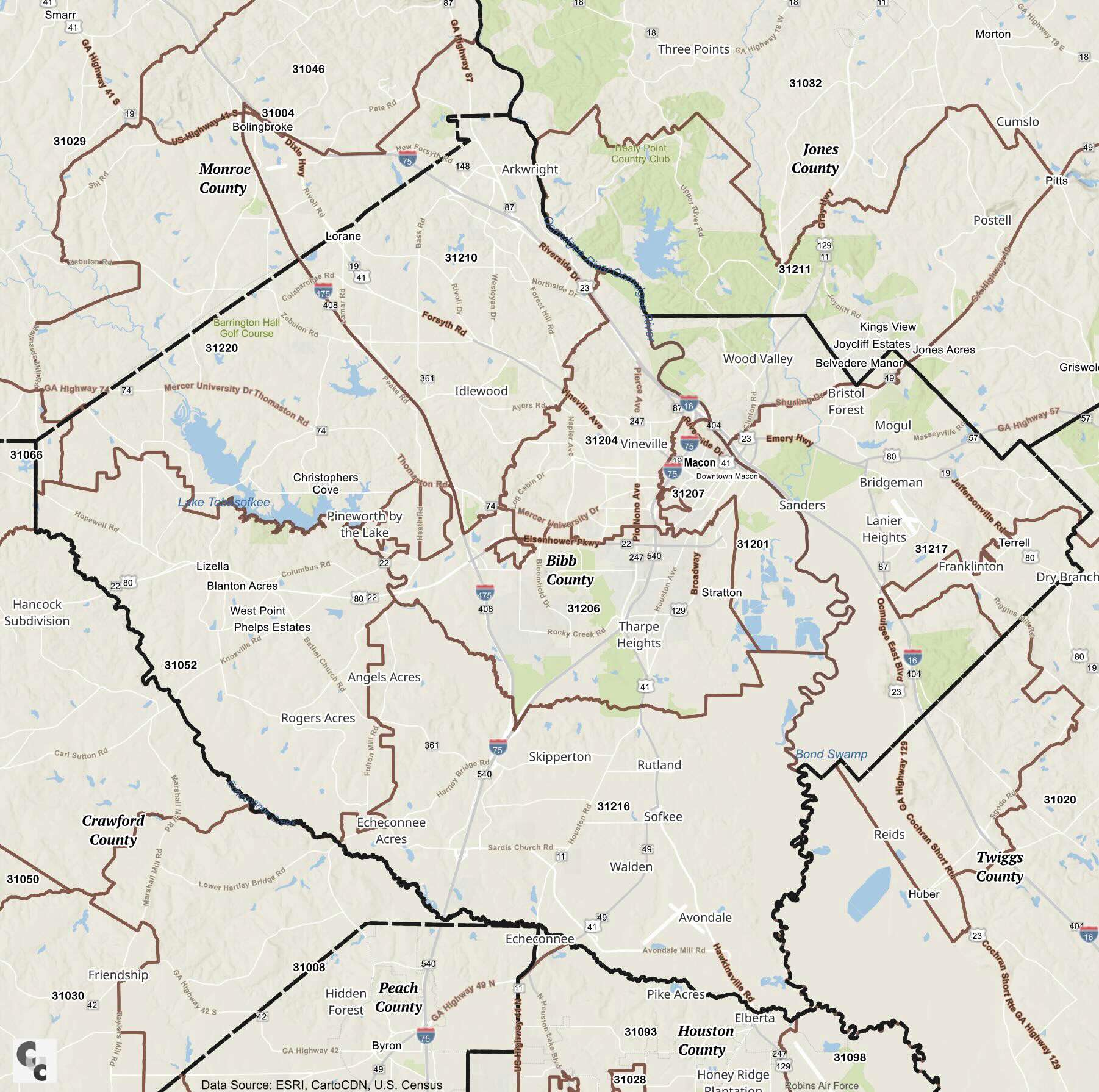
Key landmarks in Bibb County, FL include the Ocmulgee Mounds National Historical Park (ZIP: 31217) and the historic Hay House (ZIP: 31201). The county has several Post Offices and a significant number of PO boxes to serve its residents and businesses.
Bibb County’s ZCTAs cover a diverse population with various income levels, races, and gender distributions. The economic landscape reflects both suburban and urban characteristics, with median incomes varying significantly across different ZIP code areas.
| ZIP Code | City | County |
|---|---|---|
| 31220 | Macon | Bibb |
| 31217 | Macon | Bibb |
| 31216 | Macon | Bibb |
| 31213 | Macon | Bibb |
| 31211 | Macon | Bibb |
| 31210 | Macon | Bibb |
| 31208 | Macon | Bibb |
| 31207 | Macon | Bibb |
| 31206 | Macon | Bibb |
| 31205 | Macon | Bibb |
| 31204 | Macon | Bibb |
| 31203 | Macon | Bibb |
| 31202 | Macon | Bibb |
| 31201 | Macon | Bibb |
| 31066 | Lizella | Bibb |
| 31032 | Gray | Bibb |
| 31027 | Dudley | Bibb |
| 31020 | Dry Branch | Bibb |
| 31016 | Culloden | Bibb |
| 31004 | Bolingbroke | Bibb |
Source: Census
Map Copyright CCCarto 2026
U.S. County Zip Code Maps - Other Georgia Zip Code Maps