NYC Subway Entrance Map
New York City Subway Map
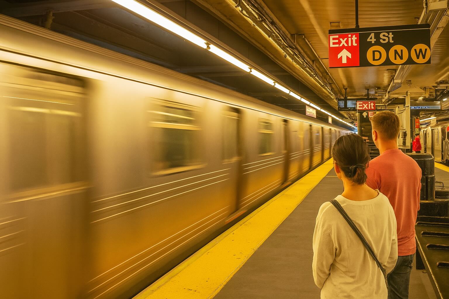
New York City Subway Entrance Map that shows entrance locations, cross-street locations, and subway line names for each entrance location.
New York City Subway Facts
Entrances
There are approximately 472 subway stations in the New York City subway system, with thousands of entrances scattered across the city. Some stations have multiple entrances and exits. The busiest entrances are at major transportation hubs, including Times Square–42nd Street, Grand Central–42nd Street, and 34th Street–Herald Square, where millions of commuters pass through daily.
Daily Traffic
The NYC subway handles over 5.5 million riders on an average weekday. In 2022, the subway saw more than 1.3 billion total rides over the year, though this number fluctuates seasonally and can change due to various factors such as the COVID-19 pandemic.
Subway Depth
The average depth of the NYC subway varies significantly, but it ranges from near ground level to as deep as 180 feet underground at stations like 191st Street in Manhattan.
Wealthiest Entrances
Subway entrances in wealthier and more upscale parts of New York City include those around the Upper East Side and Upper West Side, near Central Park. The entrances around 5th Avenue, Park Avenue, and areas close to Wall Street also serve some of the city's most affluent residents.
Subway Fare
As of 2025, a single ride on the New York City subway costs $2.90. Monthly unlimited ride passes are available for $132. Always check the MTA website for the latest fare information.
Fun Facts About the NYC Subway
- Number of Trains and Cars: The system operates more than 6,400 subway cars on around 36 train lines.
- Miles of Track: The subway has about 665 miles of active track, making it one of the largest systems in the world.
- Flooding: The subway faces regular flooding risks, especially during heavy rains and hurricanes. Hurricane Sandy in 2012 caused widespread damage and flooding.
- Impact of 9/11: Several subway lines near the World Trade Center were disrupted after the September 11 attacks, with the Cortlandt Street station being closed for many years.
- Speed: The average speed of subway trains is about 17 mph, with some express trains reaching speeds up to 55 mph.
- Movies Filmed: Famous movies like The Warriors, Joker,The French Connection,The Taking of Pelham 123,Saturday Night Fever,Crocodile Dundee,Men in Black II, and Spider-Man have filmed scenes in the subway system.
- Age: The NYC subway opened in 1904, making it one of the oldest in the world.
- Artifacts Found: During subway construction, workers discovered fossils, historical artifacts, and remains of ancient bedrock.
- Bedrock: Construction blasted through New York City's schist bedrock to build the subway tunnels.
- Crime Stats: Crime has fluctuated over the years, with efforts to reduce subway crime in the 1990s leading to significant improvements in safety. However, crime remains a concern for many riders.
- Graffiti: Graffiti was a major problem in the subway system during the 1970s and 1980s, but a major clean-up in the 1990s significantly reduced its prevalence.
- Train Cars: Companies such as Bombardier and Kawasaki manufacture subway cars for the NYC system.
- Famous Ex-Employees: Some famous individuals, like comedian George Carlin, worked for the subway system in their youth.
- Storage and Maintenance: Subway cars are stored and maintained in several rail yards across the city, including the Coney Island Yard and 207th Street Yard.
- Subway Control: The subway system is controlled through a combination of automated signals and manual operations. The MTA uses a central control room to monitor and manage train movements.
Source: New York City GIS MTA
Map copyright CCCarto 2026
CCCarto is NOT responsible for errors or omissions in the data.