Home Energy Maps Travel Maps Tourism Maps Catalog


Enjoy Our NEW State Maps


Active Gulf Oil Rigs and Platforms - Oil Rig Location Map

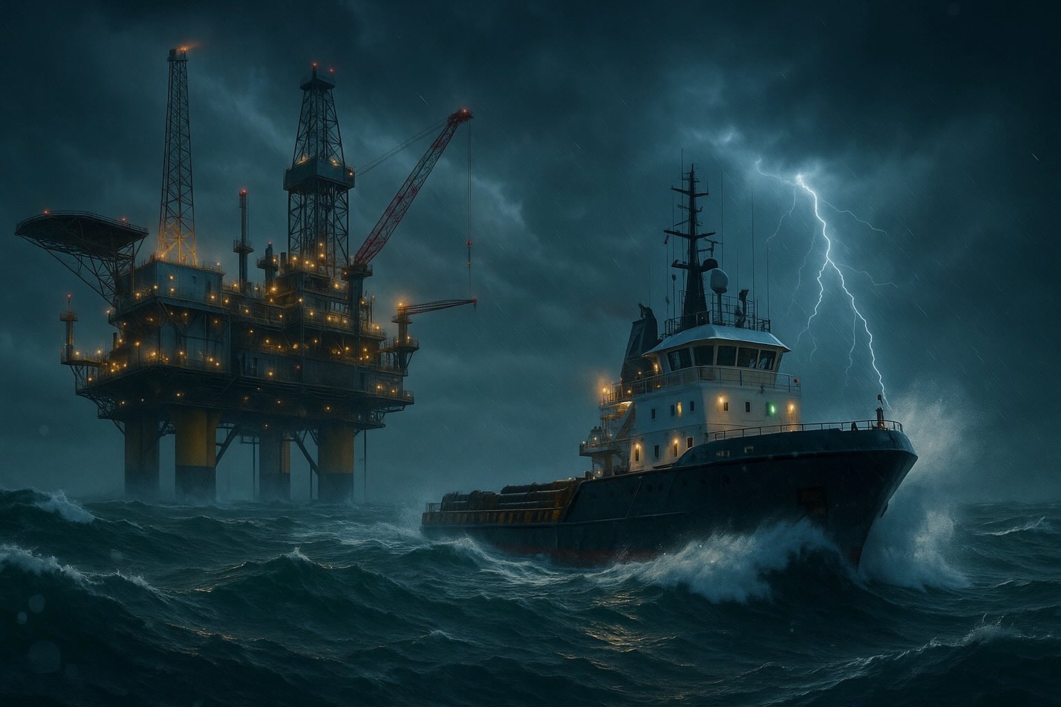
gom_oil rig in storm
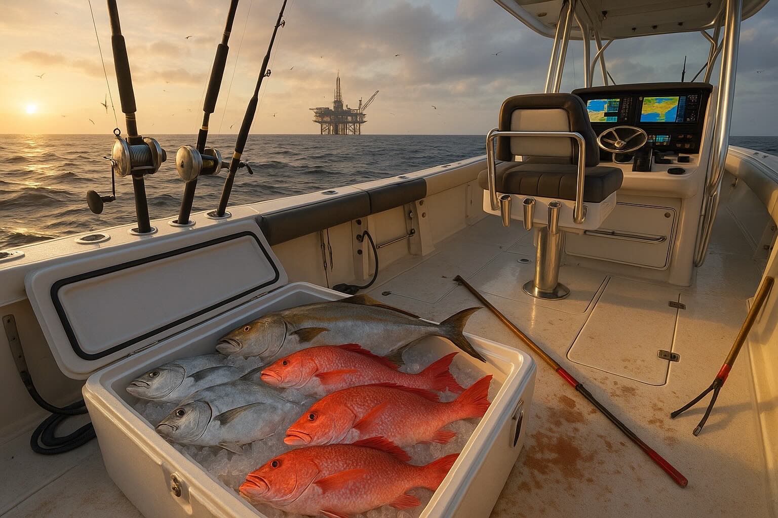
gulf of mexico fishing

Gulf of Mexico Oil & Gas — 2024 Snapshot

Coverage: U.S. Federal OCS (Texas & Louisiana offshore). Figures are rounded “order-of-magnitude” planning numbers for web display.

Production & Mix Platforms & Pipelines Top Operators Area Profiles Deepwater Projects Midstream & Refining People & Pay Safety & Hazards Spills & Response Travel & Logistics

2024 Oil

~1.77 million b/d

≈14–15% of U.S. crude production.

2024 Gas

~1.8 Bcf/d

Shelf-weighted + associated gas from deepwater hubs.

Oil-Weighted Basin

The modern GOM is primarily an oil province; gas volumes are comparatively smaller and more variable.

Platforms, Facilities & Pipelines

ItemGOM (U.S.)
Regulated offshore facilities~2,000 (incl. production, drilling, quarters)
Manned production platforms (storm base)~371
Active offshore pipelines (oil + gas)~13,000 miles
Total installed (active+inactive, historical)~45,000 miles (cumulative)
Typical deepwater crew on board~60–200 POB (asset-dependent)

Counts vary with new starts, workovers, and decommissioning.

Shelf vs. Deepwater

Shelf blocks (e.g., Ship Shoal, South Marsh Island) are shallow-water, mature oil/gas with frequent small operators. Deepwater projects (>500 ft) are capital-intensive hubs with long-tieback networks (e.g., Mars–Ursa, Thunder Horse, Appomattox, Whale).

Poseidon (crude) Amberjack (crude) Destin (gas) Kinetica (gas) CAM/LOCAP → St. James

Big Operators (production, 2024)

Oil-heavy (Deepwater)

  • Shell (Mars/Ursa corridor, Appomattox, Perdido, Whale)
  • BP (Thunder Horse, Atlantis, Na Kika)
  • Chevron (Jack/St. Malo, Big Foot, Tahiti; Anchor coming on)
  • Oxy/Anadarko, Murphy, Hess, Eni

Gas & Shelf-focused

  • W&T Offshore, Talos, Arena Offshore, Cox Operating, Cantium
  • Many legacy shelf platforms in Louisiana OCS blocks

Operator ranks change as assets trade and new projects ramp. Use BSEE monthly/annual tables for current placements.

Area Profiles (the blocks you listed)

Texas Deepwater (Perdido Fold Belt & Western GOM)

  • Perdido hub (~7,800 ft water) and Whale (~8,600 ft) typify ultra-deepwater.
  • Oil to Gulf Coast refineries via deepwater trunklines & onshore hubs.

Ship Shoal (SS)

  • Mature shelf oil/gas; active independents; tie-ins to Poseidon (crude) and Kinetica/Destin (gas).
  • Example legacy blocks: SS 332/339 (historic activity).

South Marsh Island (SMI)

  • Shallow-water fields; gas-weighted pockets; frequent workovers, recompletions.
  • Gas takeaway commonly via Kinetica system.

South Timbalier (ST)

  • Shelf legacy; crude gathered by Amberjack/Poseidon; near deepwater Mississippi Canyon tiebacks.

Grand Isle (GI)

  • Proximity to LOOP/Clovelly & St. James marketing hubs.
  • Shelf platforms with multiple crude routing options.

West Delta (WD)

  • Historic oil/gas area southeast of the Mississippi River Delta.
  • Gas to Destin/Kinetica; crude options to Poseidon.

Main Pass (MP)

  • Eastern shelf fields with oil/gas; gas to Pascagoula via Destin pipeline.

Deepwater Examples

Shell Whale (Alaminos Canyon 773)

~8,600 ft water; designed around ~100 Mboe/d peak; target crew ~60 POB.

Appomattox (Mississippi Canyon 437)

Major deepwater hub, started 2019; typical POB ~80–100 depending on campaigns.

Chevron Anchor (HP/HT)

First 20k-psi deepwater development in the GOM; next-gen subsea and topsides pressure envelope.

Where the Oil is Refined (and how it moves)

  • PADD 3 (Gulf Coast) refineries in Texas & Louisiana run most GOM crudes.
  • Key hubs: LOOP/Clovelly and St. James (CAM/LOCAP) moving Mars/Thunder Horse blends.
RefineryApprox. capacity
Marathon Galveston Bay (TX)~630 kb/d
Motiva Port Arthur (TX)~625 kb/d
ExxonMobil Baytown & Beaumont (TX)~600–900 kb/d (combined)
Valero Port Arthur / ExxonMobil Baton Rouge / Marathon GaryvilleMajor GOM crude takers

Capacities rounded; check current EIA capacity tables for exact values.

People, Crewing & Pay

Typical Crewing

  • Deepwater floater or hub: ~60–200 POB
  • Shelf platforms: often lightly manned or periodic visits
  • Common rotations: 14/14 or 21/21 days

Indicative Annual Pay

  • Roustabout: ~$46k (median)
  • Derrick operator: ~$58k (mean)
  • Petroleum engineer: ~$154k (mean)

Actuals vary by operator, rotation, OT, and certifications.

Onboard Roles

Drilling, production ops, subsea, maintenance, crane/lifting, marine, HSE/medics, catering, logistics, inspection/NDT.

Operational Risks & Safety Controls

Key Hazards
  • Hurricanes, large waves, rapid weather changes
  • Fires/explosions; hydrocarbon releases, blowouts
  • Helicopter/boat transfers; man overboard
  • Lifting/crane operations; high-pressure/HPHT systems
  • Illness/medevac in remote setting
Controls in Practice
  • Storm shut-ins & evacuations; muster & shelter procedures
  • Permit-to-work, SIMOPS planning, MoC
  • Well control barriers (BOPs, MPD), ESD/PSD systems
  • F&G detection, firewater/foam, drills
  • HUMS/condition monitoring; USCG/BSEE audits

BSEE incident stats show improving trends, with variability year to year.

Spills & Major Events

Deepwater Horizon (2010) — reference point

Large deepwater blowout with extensive environmental and economic impact; catalyzed major regulatory changes.

Response Toolbox

Travel to & from Rigs

  • Helicopters (e.g., S-92 class) for crew-change & medevac
  • Offshore Supply Vessels (OSVs) for cargo, fuel, drilling fluids
  • Base ports: Port Fourchon, Venice, Houma, Galveston, Corpus Christi, etc.

Flight decks and boat landings follow strict procedures for POB control, cargo handling, and simultaneous operations (SIMOPS).


Data Source: EIA/BOEM

Return to Map Index

Copyright CCCarto 2025