Click to explore interactive map
Zion National Park Guide
Zion National Park Overview
Zion is one of the few U.S. National Parks that does not have a bad view anywhere in the park (especially the trails) due to the surrounding red canyon walls that contrast beautifully with the green trees and foliage at the bottom by the Virgin River.
Zion Visitor Center, Permits & Safety
When visiting Zion National Park, make sure you stop and visit the visitor center for a bunch of reasons.
First, many of the most popular and heavily used trails in the park now require day hiking permits. You will also need a permit for any canyoneering, backcountry camping, and overnight backpacking.
The most notable permit-only hike is Angels Landing, which requires an advance lottery permit due to extreme crowding and dangerous exposure.
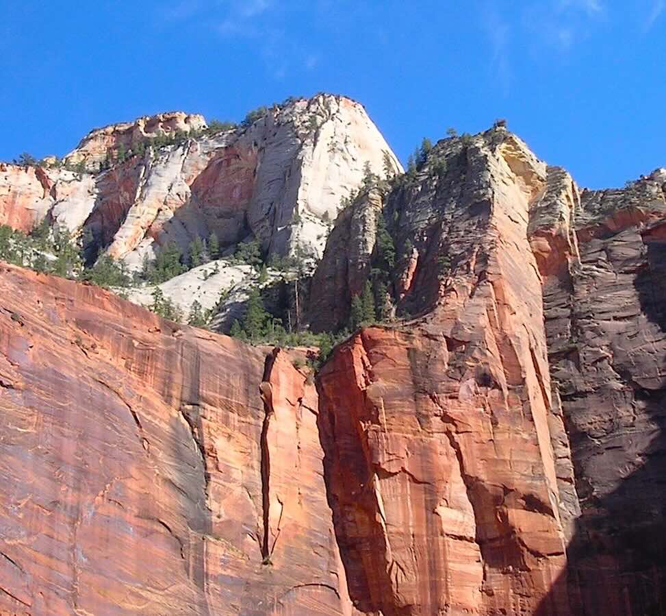
Red Zion Walls
Heavily Used Trails & Routes That Now Require Permits
- Angels Landing – Now a day hiking permit is required (lottery system)
- The Narrows – Top-Down Route – Permit required
- Subway (Left Fork) – Permit required
- Hidden Canyon – When open, permit may be required
- Orderville Canyon – Permit required
- Keyhole Canyon – Permit required
- Echo Canyon – Permit required
- Pine Creek Canyon – Permit required
Also, the visitor center will have the daily weather forecast which is very important to have, since being high and low in a canyon can cause serious problems with lighting and flash floods.
You can also get specialized information and books in the visitor center on topics like:
- Canyoneering & Climbing
- Birding & Geology
- Local Flora and Fauna
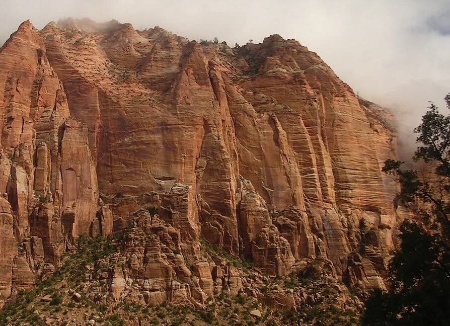
Zion Canyon Walls
Avoiding Zion Entrance Fees
One unique advantage of Zion National Park is that you can often avoid paying the vehicle entrance fee by staying in Springdale and walking or biking directly into the park from your hotel/motel.
The park’s pedestrian entrance is located at the Zion Canyon Visitor Center. Once inside, you can hop directly onto the free Zion Canyon Shuttle and travel the length of the main canyon without ever needing a car.
Zion Canyon Shuttle System
Private vehicles are not allowed beyond Canyon Junction during shuttle season. Shuttles typically run every 5–10 minutes during busy periods.
Main Canyon Shuttle Stops
- Visitor Center – Main park entrance, restrooms, permits, maps
- Museum of Human History – Access to the Pa’rus Trail
- Canyon Junction – Scenic pullouts
- The Grotto – Angels Landing & West Rim Trail
- Zion Lodge – Emerald Pools Trail access
- The Big Bend – Virgin River viewpoints
- Temple of Sinawava – Riverside Walk and The Narrows
Zion Canyon
Capturing the Light: Zion Photography Guide
Zion National Park is a landscape defined by verticality and light. For photographers, the challenge is managing the extreme contrast between the deep, shadowed canyons and the brilliant, sun-drenched plateaus.
Iconic Locations & Technical Details
- The Narrows: Famous for "Canyon Glow"—when sunlight hits the upper canyon walls and reflects down, bathing the river in a warm, orange light. Best for capturing the soft geometry of water-carved stone.
- Angels Landing & Backcountry Overlooks: These high-elevation spots offer aerial-style perspectives. Use the winding Virgin River to create leading lines that draw the eye through the canyon floor.
- River Transitions: The areas along the Pa’rus Trail offer incredible contrast. The dark, wet river rocks against bright green cottonwoods provide rich textures and deep shadows.
- Trees and Shadows: Focus on the Court of the Patriarchs in the late afternoon. The jagged shadows of the peaks fall across the valley, creating high-contrast compositions with the white and red Navajo Sandstone.
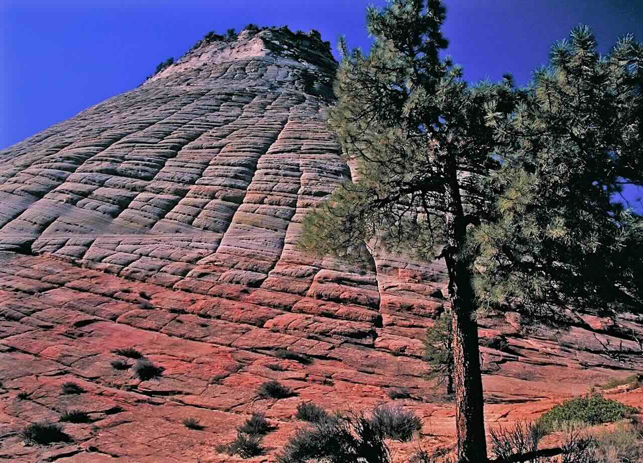
Checkerboard Mesa
Optimal Timing
| Season |
Visual Goal |
Light Quality |
| Spring |
Lush greens and hanging gardens. |
Crisp mornings; vibrant saturation. |
| Winter |
Snow-capped red rock contrast. |
Low-angle sun and long shadows. |

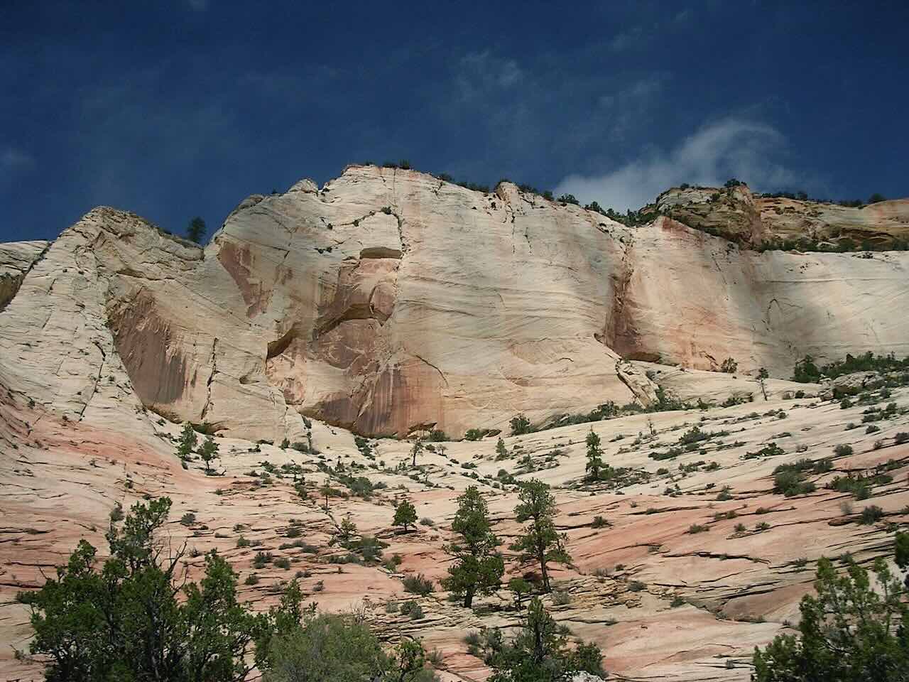
Zion Red Rock
Photography Ethics & Park Rules:
- Stay on Trails: Protect fragile cryptobiotic soils; one footprint can destroy decades of growth.
- No Drones: Unmanned Aerial Vehicles are strictly prohibited to protect wildlife and the natural soundscape.
- Leave No Trace: Pack out all equipment, including film backing or lens wipes.
Trail Guide by Difficulty
Short & Easy Trails (45 mins – 4 hours)
- The Grotto Trail
- Lower Emerald Pool Trail
- The River Walk (Riverside Trail)
- The Weeping Rock Trail
- Pa’rus Trail
Moderate Zion Hikes (1 – 5 hours)
These hikes gain about 100 to 450 feet in elevation and offer wider views of the canyon floor.
- Watchman Trail
- Upper Emerald Pool Trail
- Kayenta Trail
- Canyon Overlook Trail
- Taylor Creek Trail
- Angels Landing
Strenuous Zion Trails (3 – 8 hours)
Elevation gains of 850+ feet. These require planning, extra water, and proper hiking gear.
- Hidden Canyon Trail
- Observation Point
- The Narrows Slot Canyon
- Kolob Arch
Petroglyphs & History
Petroglyphs created by Indigenous peoples can still be viewed in the park. One of the more accessible sites is near the Kolob Canyons area. Please consult rangers for specific locations to help protect these artifacts.
Historic Mormon Settler Buildings
- Grafton Ghost Town – Located just outside the park (settled 1859)
- Alonzo H. Gifford Homestead – Located in the park's eastern section
- East Entrance Ranger Station – Built by the CCC in the 1930s
Source: NPS
This Zion National Park map map is made with digital National Park data. Click trails for more information. Viewers should consider this trail map as reference only.
For other National Park Web Samplers, please visit this directory:
National Park Samplers
Source: NPS, USGS
Map Design & Copyright CCCARTO
All rights reserved