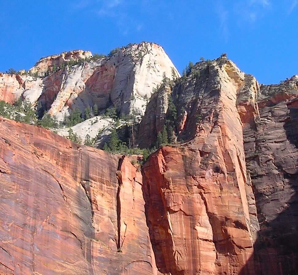
Red Zion Walls
Zion is one of the few U.S. National Parks that does not have a bad view anywhere in the park (especially the trails) due to the surrounding red canyon walls that contrast beautifully with the green trees and foliage at the bottom by the Virgin River.
When visiting Zion National Park, make sure you stop and visit the visitor center for a bunch of reasons.
First, many of the most popular and heavily used trails in the park now require day hiking permits. You will also need a permit for any canyoneering, backcountry camping, and overnight backpacking.
The most notable permit-only hike is Angels Landing, which requires an advance lottery permit due to extreme crowding and dangerous exposure.
Red Zion Walls
Also, the visitor center will have the daily weather forecast which is very important to have, since being high and low in a canyon can cause serious problems with lighting and flash floods.
You can also get specialized information and books in the visitor center on topics like:
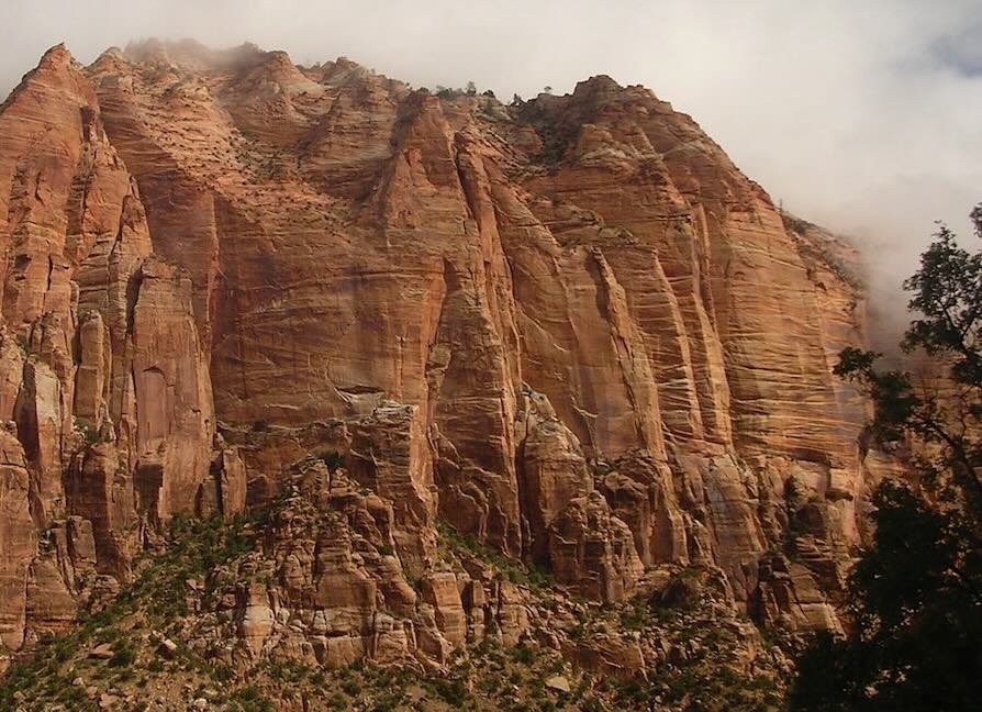
Zion Canyon Walls
One unique advantage of Zion National Park is that you can often avoid paying the vehicle entrance fee by staying in Springdale and walking or biking directly into the park from your hotel/motel.
The park’s pedestrian entrance is located at the Zion Canyon Visitor Center. Once inside, you can hop directly onto the free Zion Canyon Shuttle and travel the length of the main canyon without ever needing a car.
Private vehicles are not allowed beyond Canyon Junction during shuttle season. Shuttles typically run every 5–10 minutes during busy periods.
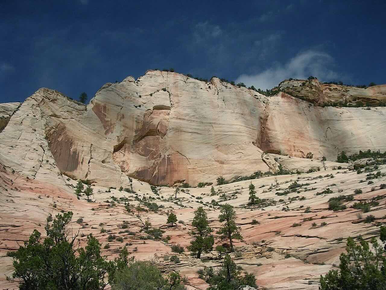
Zion Canyon
Zion National Park is a landscape defined by verticality and light. For photographers, the challenge is managing the extreme contrast between the deep, shadowed canyons and the brilliant, sun-drenched plateaus.
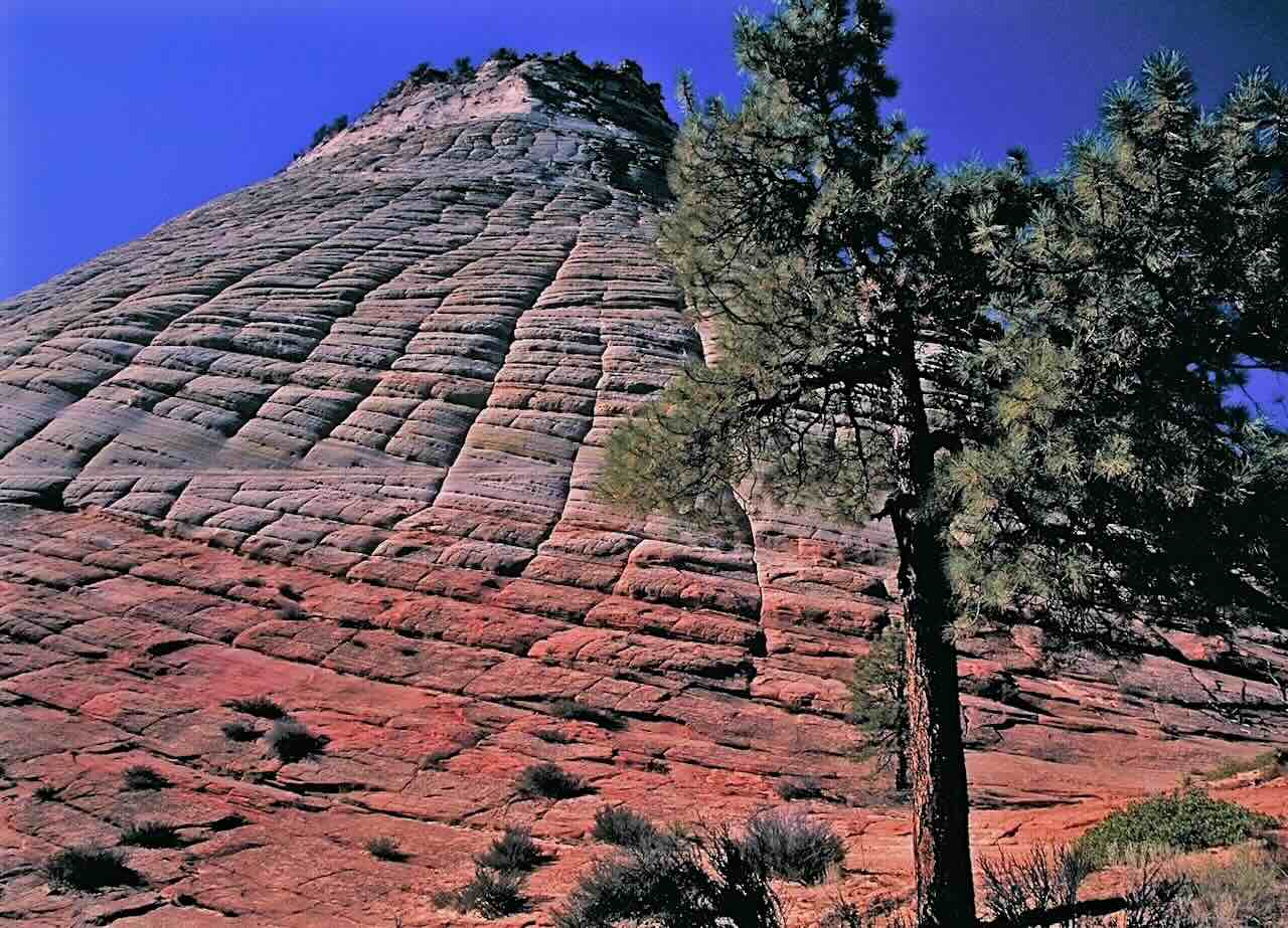
Checkerboard Mesa
| Season | Visual Goal | Light Quality |
|---|---|---|
| Spring | Lush greens and hanging gardens. | Crisp mornings; vibrant saturation. |
| Winter | Snow-capped red rock contrast. | Low-angle sun and long shadows. |
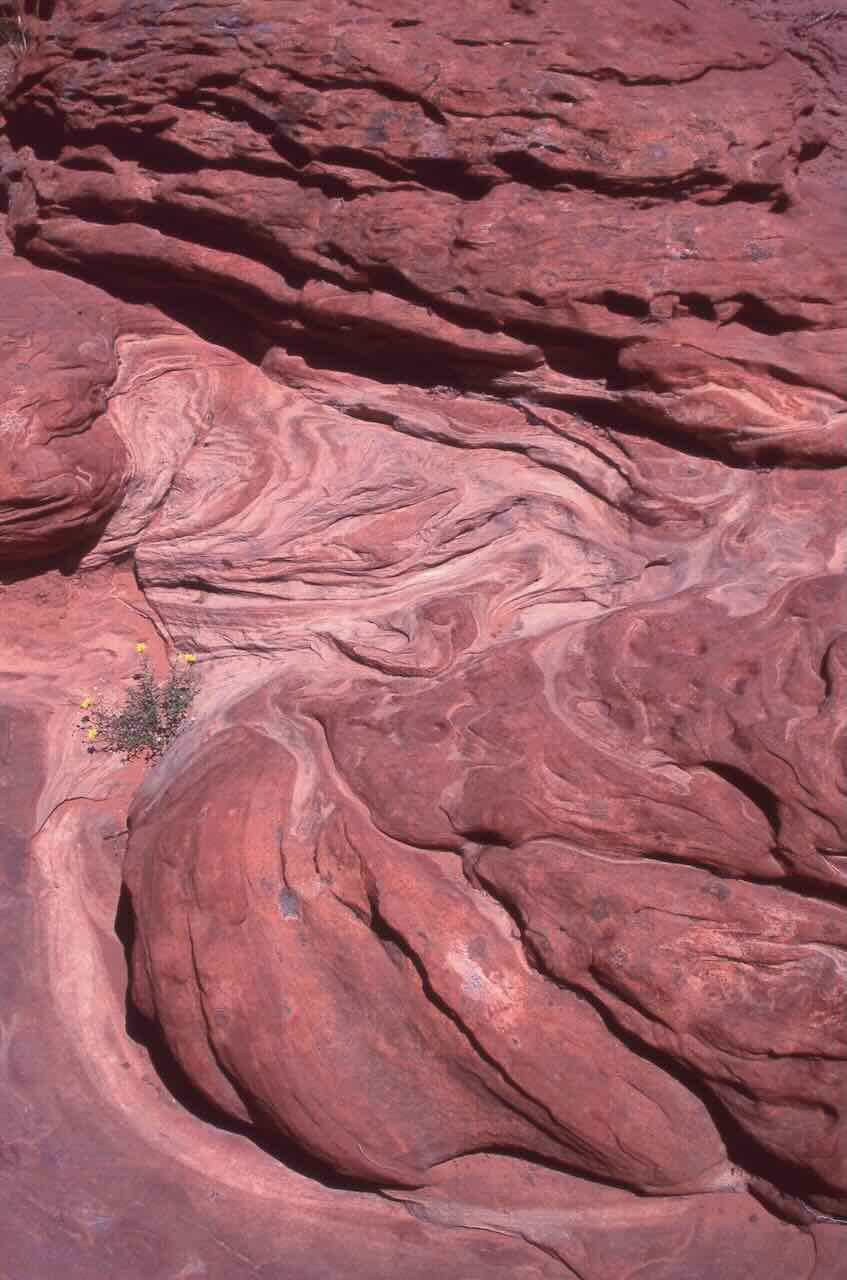
Zion Red Rock
These hikes gain about 100 to 450 feet in elevation and offer wider views of the canyon floor.
Elevation gains of 850+ feet. These require planning, extra water, and proper hiking gear.
Petroglyphs created by Indigenous peoples can still be viewed in the park. One of the more accessible sites is near the Kolob Canyons area. Please consult rangers for specific locations to help protect these artifacts.
Source: NPS
This Zion National Park map map is made with digital National Park data. Click trails for more information. Viewers should consider this trail map as reference only.
For other National Park Web Samplers, please visit this directory:
National Park Samplers
Source: NPS, USGS
Map Design & Copyright CCCARTO
All rights reserved
Get current conditions, shuttle info, and ways to support Zion National Park from these official sources.