1) Platforms create instant habitat where there wasn’t much
Many parts of the Gulf have relatively limited natural hard-bottom reef compared with the amount of open sand/mud seafloor. A platform’s legs, cross-bracing, and pilings add vertical relief from deep water up toward the surface—basically “a reef that reaches the light.” Fish use that structure as a reference point, a hiding place, and a hunting edge (especially when current is moving).
2) The “food ladder”: from slime → baitfish → trophy fish
The real engine is the fouling community that grows on steel: algae, barnacles, hydroids, mussels, tube worms, small crabs, and other invertebrates. Those organisms feed small reef fish and plankton-eaters, which then attract bigger predators. Research and monitoring on reefed platforms show strong links between what grows on the structure and which fish species dominate around it. [2][3]
- Micro layer: algae/bacteria biofilm → tiny grazers and filter feeders.
- Invertebrate layer: barnacles/hydroids/mussels → crabs/shrimp → small reef fish.
- Bait layer: scad, sardines/herrings, hardtails/blue runners, juvenile jacks, etc.
- Predator layer: snapper, amberjack, grouper, cobia, king mackerel, tuna, wahoo, mahi.
3) Why schools of fish form around rigs
Schooling is a survival strategy, and platforms make it easier:
- Shade + contrast: The “dark underside” and shadow lines help baitfish hold position and can make ambush-feeding easier for predators. [2]
- Current breaks & eddies: Steel legs create turbulence and slack-water pockets where smaller fish can save energy and where food particles concentrate.
- Orientation in open water: In a mostly featureless environment, a big structure becomes a “home base” that fish can return to.
- Vertical zoning: Different species stack by depth—bait and fast hunters higher, reef fish and structure-huggers deeper.
4) Do platforms and fishermen benefit off each other?
Mostly, fishermen benefit from platforms—platforms weren’t built for fishing, but they unintentionally create habitat that concentrates fish and makes them easier to find.
- Benefit to anglers: predictable locations, stronger bites around current changes, multi-species action in one spot.
- Benefit to “the platform” (indirect): not much day-to-day—except that “Rigs-to-Reefs” programs can convert retired structures into permanent reefs, keeping habitat in place rather than removing it. [1][4]
- Potential downside: concentrating fish also concentrates fishing pressure. Scientists debate how much is “new production” vs. “attraction” (moving fish from nearby areas). [5][6]
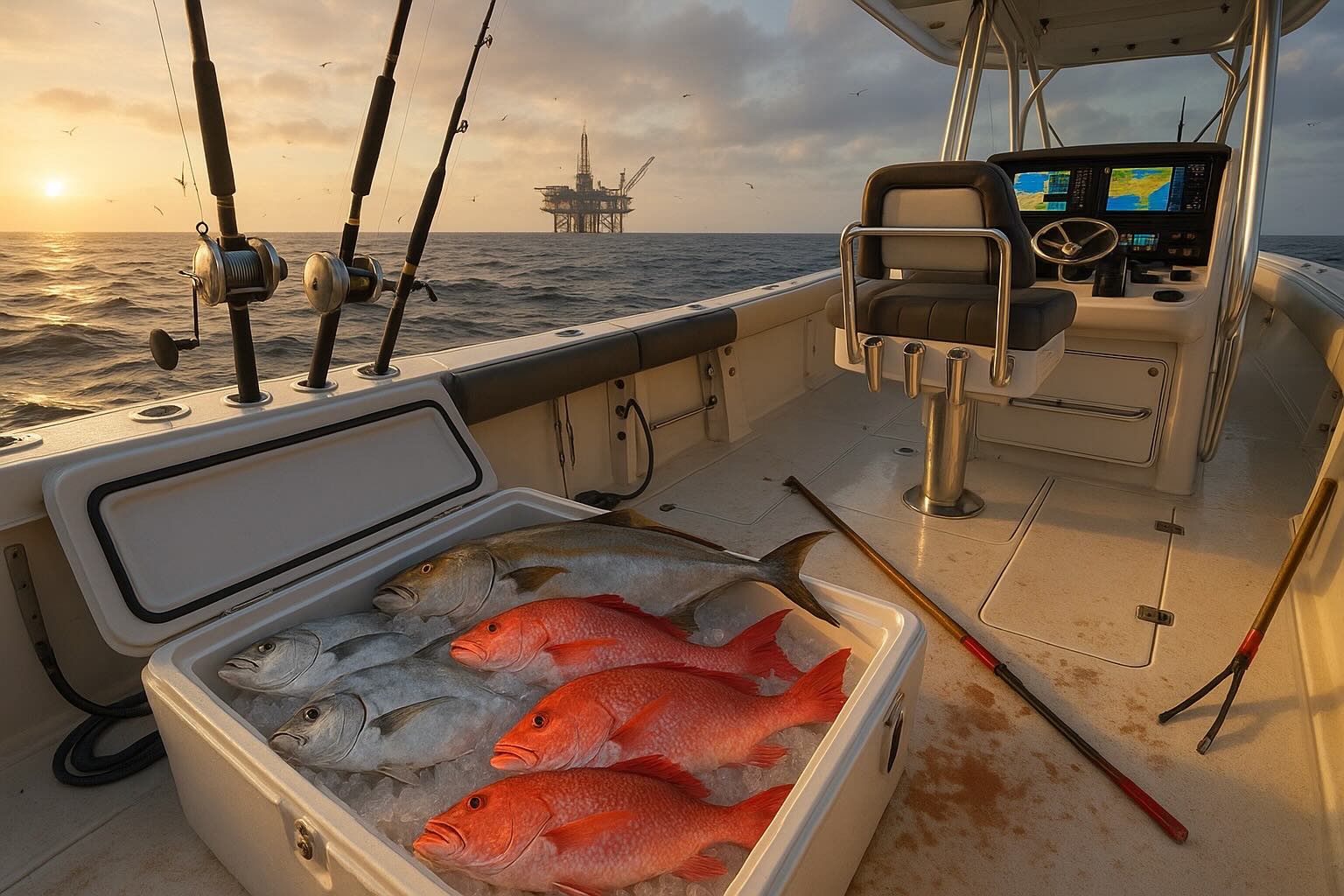
5) What sport fish commonly use platforms for cover and food
Species vary by season, region (TX/LA/MS/AL/FL), depth, and how much structure is left in the water. Here’s a practical way to think about it—by “where they live” around the rig:
Near-surface & open-water hunters (often on the up-current side)
- Mahi-mahi (dolphinfish) — drawn to floating shade/structure and bait schools.
- Wahoo — fast pelagic predator that patrols edges and bait stacks.
- Tuna (yellowfin / blackfin) — show up where bait is thick and current is right.
- King mackerel / Spanish mackerel — commonly work the mid-to-upper water column.
- Cobia — often roam the surface and structure edges, especially during migrations.
Midwater “structure cruisers” (the bruisers)
- Greater amberjack — classic rig fish; they use the legs as a highway and attack bait. [5]
- Jacks (crevalle and other Carangids) — hit bait schools hard and use the structure as cover.
- Barracuda — often hover around structure and strike from ambush.
On-the-legs & near-bottom reef fish (the “reef residents”)
- Red snapper — one of the most associated species with artificial structures in the northern Gulf. [6][7]
- Vermilion snapper, tomtate, spadefish, triggerfish — common reef assemblage around artificial reefs/platforms. [7]
- Groupers (varies by area and depth) — often relate to the lower sections and nearby hard bottom.
6) Safety and access (quick reality check)
- Working facilities can have restricted areas: U.S. Coast Guard “safety zones” around certain Outer Continental Shelf facilities can extend up to 500 meters, depending on the specific site and rule. [8][9]
- Practical safety: heavy boat traffic, sudden current, sharp structure, and the risk of lines snagging on steel—use caution and never interfere with operations.
- Regulations change: seasons and closures for snapper/amberjack/etc. vary—always check current federal and state rules before you go.
Bottom line
Gulf platforms help sport fishing mainly by creating reef-like structure that grows its own food web and concentrates baitfish. That concentration leads to predictable “layers” of predators—from snapper and triggerfish on the legs to amberjack, cobia, and pelagics cruising the edges. Fishermen gain the most from this relationship, while long-term habitat benefits can be amplified when retired structures are converted into permanent reefs through Rigs-to-Reefs programs. [1][4]
Sources (linked)
- [1] BSEE — Rigs-to-Reefs overview: https://www.bsee.gov/what-we-do/environmental-compliance/environmental-programs/rigs-to-reefs
- [2] NOAA (National Marine Sanctuaries) — Baseline ecological assessment noting community shifts tied to shade/structure changes: https://sanctuaries.noaa.gov/science/conservation/2020-baseline-ecological-assessment-of-artificial-reef-hi-a-389-a-389-a.html
- [3] NOAA technical report (platform reef fish community methods): https://repository.library.noaa.gov/view/noaa/52239/noaa_52239_DS1.pdf
- [4] BSEE — Rigs-to-Reefs fact sheet (platforms reefed; habitat value; fish counts cited): https://www.bsee.gov/sites/bsee.gov/files/rigs-to-reefs-program-fact-sheet.pdf
- [5] Gallaway et al. (2021) — Fish abundance around platforms (red snapper / amberjack context): https://afspubs.onlinelibrary.wiley.com/doi/full/10.1002/nafm.10678
- [6] Streich et al. (2017) — Fish community comparisons at reefed platforms vs nearby reefs: https://www.tandfonline.com/doi/full/10.1080/19425120.2017.1282897
- [7] SEDAR doc — Species dominance on northern Gulf artificial reefs (snapper/tomtate/vermilion/spadefish, etc.): https://sedarweb.org/documents/sedar-74-rd09-a-comparison-of-fish-assemblages-according-to-artificial-reef-attributes-and-seasons-in-the-northern-gulf-of-mexico/
- [8] eCFR — 33 CFR Part 147 (Safety Zones): https://www.ecfr.gov/current/title-33/chapter-I/subchapter-N/part-147
- [9] GovInfo (CFR PDF excerpt) — Safety zones may extend up to 500 meters: https://www.govinfo.gov/content/pkg/CFR-2010-title33-vol2/pdf/CFR-2010-title33-vol2-part147.pdf