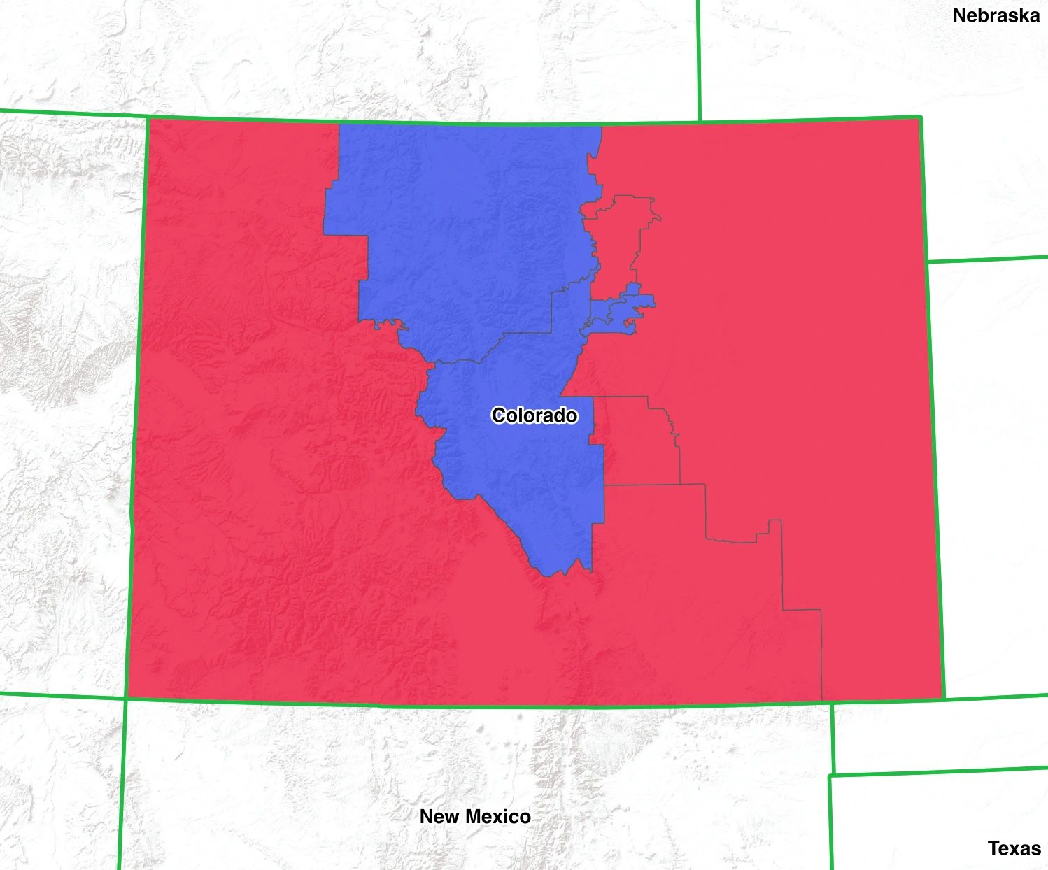
The 119th U.S. Congress convened on and runs through January 2027. It follows the November 5, 2024 federal elections (not 2022). Republicans hold a narrow majority in the House, and the Senate flipped to a Republican majority for this term. Use the links below to look up Colorado’s current U.S. Senators and House member(s), recent votes, bill status, and official biographies.
Inflation is hitting Coloradans hard, but the most explosive economic issue is the staggering spike in property taxes. Following pandemic-era real estate booms, home valuations skyrocketed, leading to massive property tax bills for homeowners and crippling overhead for small businesses. Politicians are constantly battling over legislative fixes and ballot initiatives to cap these taxes, while balancing the need to fund local schools and fire districts. Alongside property taxes, the general cost of living—particularly housing affordability along the Front Range and in mountain towns—is a massive voter priority.
For Colorado’s agricultural sector, water is the ultimate currency, and it is running dangerously low. The ongoing crisis surrounding the Colorado River has farmers and ranchers fighting to protect their historic water rights against both prolonged drought and the thirsty, rapidly growing urban centers on the Front Range. "Buy and dry" practices—where cities buy up agricultural water rights, leaving farmland barren—are a major threat to rural economies and a deeply emotional campaign issue.
Colorado is voting on the complete eradication of its middle class, driven by an out-of-control housing and affordability crisis. In the high-country resort towns, a literal two-class system has taken hold where billionaires push up tiny homes to $15 million dollars while the essential workforce—teachers, nurses, and ski industry workers—are forced into dangerous, hours-long "downvalley" commutes just to survive. Statewide, the frustration is just as fierce; historic property tax spikes and a collapsing, wildfire-rattled insurance market are pricing working families and small businesses out of the communities they built. Voters are furious at the lack of workforce housing and the unchecked short-term rental market, demanding aggressive legislative action to make the state livable for anyone who isn't ultra-wealthy.
The other massive voting issue is the bitter, existential fight between Colorado's sprawling rural/agricultural communities and the booming urban Front Range. Rural voters feel entirely steamrolled by policies forced upon them by city voters—most visibly the mandated reintroduction of gray wolves, which threatens local ranchers' livelihoods. Beneath that lies the ultimate battle for survival: water. As the Colorado River crisis deepens, urban centers are buying up agricultural water rights ("buy and dry"), leaving generational farmland barren. Combined with fierce debates over public land use and energy extraction, rural Coloradans are voting to protect their resources and their autonomy from an urban voting bloc they feel fundamentally misunderstands their way of life.
The push to dismantle the U.S. Forest Service and potentially sell off federal lands is not just an environmental debate—it is a direct assault on Colorado's massive outdoor recreation economy. A huge sector of the state's businesses, from major outdoor brands to local outfitters, relies entirely on intact, accessible public forests to survive. If public access is restricted, privatized, or sold off for extraction, the market for camping gear, backcountry ski skins, RVing, fishing, boating, and hunting will collapse. This multi-billion dollar economic engine provides thousands of jobs and sustains entire mountain communities. For the voters whose livelihoods depend on selling products and services tied to these lands, fighting federal privatization is quite literally a battle for their businesses' survival.
Climate change is an unavoidable reality in Colorado, primarily manifesting through a year-round wildfire season and reduced snowpack. Beyond the environmental debate, this has triggered a severe localized economic crisis: the collapse of the homeowner's insurance market in the Wildland-Urban Interface (WUI). Thousands of residents living in or near the foothills are facing non-renewals or catastrophic premium hikes due to fire risk, forcing the state government to scramble for solutions, including a state-backed insurer of last resort.
Use these official directories to confirm the current roster for Colorado and to get office contacts:
Track floor votes, bill status, and enacted laws from official sites:
Bill page for the 119th: H.R. 1, 119th Congress.
Generated by cccarto.com - copyright cccarto.com